MyCivility, the collaborative map of antisocial behaviour
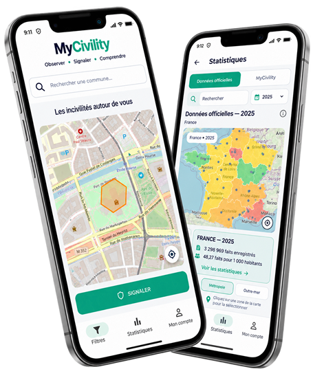
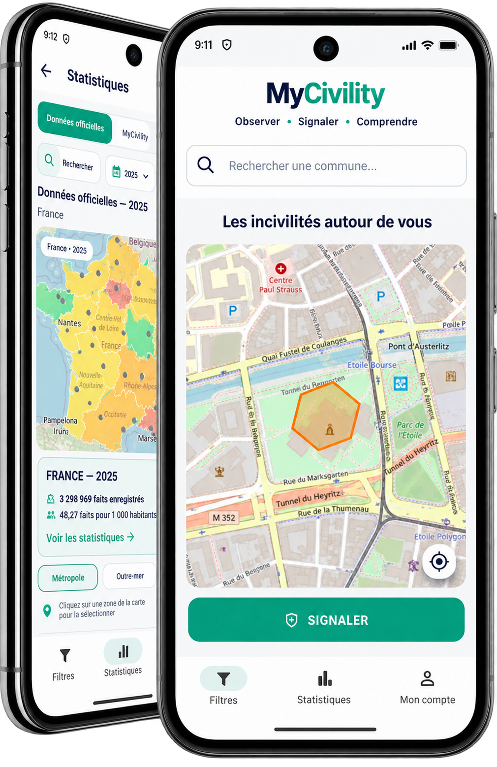
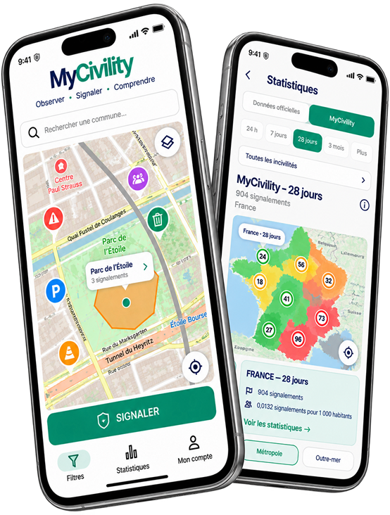
MyCivility is an app for reporting and observing antisocial behaviour around the world. It allows anyone to easily report antisocial behaviour they witness around them and view reports on an interactive map.
Night-time or daytime noise, property damage, insults, suspicious behaviour or other disruptive behaviour: reports help provide a better understanding of situations encountered in public spaces and how they evolve over time.
An antisocial behaviour map accessible to everyone
The MyCivility map allows you to view reports at different geographical levels: neighbourhood, city, region or country.
The aim is not to identify or single out individuals, but to highlight geographical and temporal trends based on observations made on the ground. à partir des observations réalisées sur le terrain.
Reports are therefore associated with a geographical area rather than with an individual's identity.
Report antisocial behaviour easily
MyCivility was designed to make reporting quick and straightforward.
When users observe a situation, they select the corresponding type of antisocial behaviour and its level of severity. The report then contributes to the information displayed on the map and to MyCivility statistics.
Over time, the accumulation of observations provides a better understanding of where, when and what types of antisocial behaviour are being reported. où, quand et quels types d’incivilités sont signalés.
Track changes in antisocial behaviour
MyCivility goes beyond showing what is happening today.
Historical data makes it possible to track how reports evolve over time and compare different periods or geographical areas.
This approach helps distinguish an isolated event from a recurring trend.
From local data to a global view
MyCivility has been designed from the outset to operate internationally.
The same approach makes it possible to explore information from a very local level to a broader view: city, administrative subdivision, region, state or country, depending on how each territory is organised. ville, subdivision administrative, région, État ou pays, selon l’organisation territoriale de chaque territoire.
The platform can therefore progressively integrate data from many countries while maintaining a consistent approach to presenting and understanding the information.
Community reports and official statistics
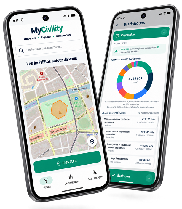
Where public data is available, MyCivility can also provide official statistics to give additional context to community observations. statistiques officielles afin d’apporter un contexte supplémentaire aux observations de la communauté.
This data is presented separately from MyCivility reports to maintain a clear distinction between user observations and statistics from institutional sources.
Understand rather than identify
MyCivility is built around a simple principle: observe patterns, not people..
The platform aims to provide a collective and geographical view of antisocial behaviour to better understand its presence and evolution.
One incident may seem isolated. Thousands of observations can reveal a trend.